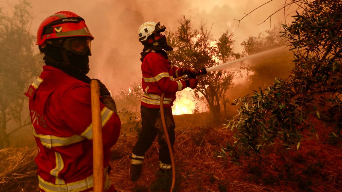
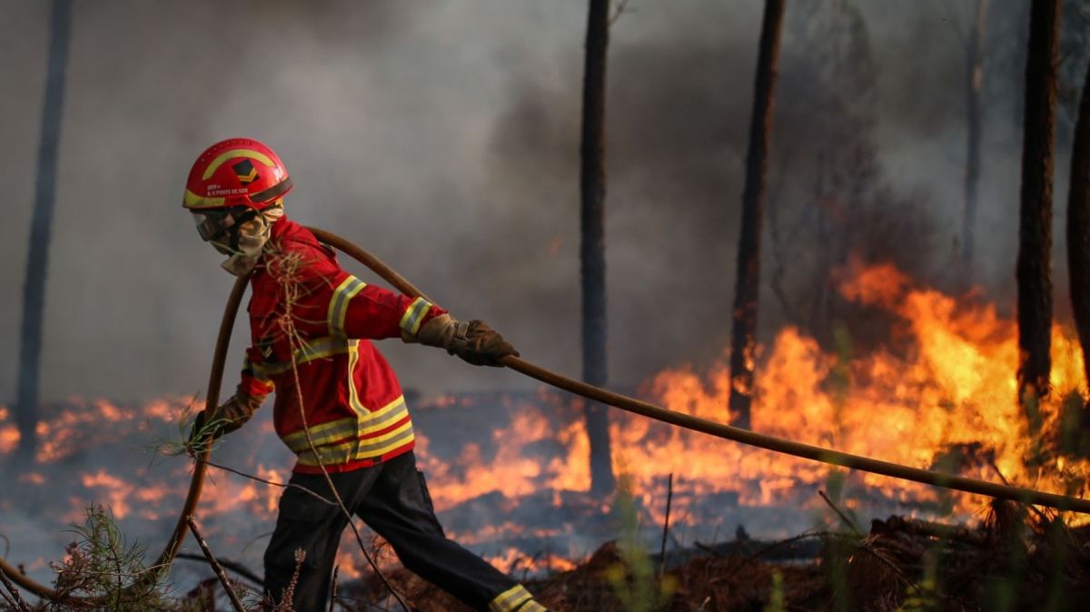
According to the meteorologist at the Portuguese Institute of the Sea and Atmosphere (IPMA), scattered showers, if they occur, will not impact the fire-affected areas.
“What will help is the drop in maximum temperatures and the increase in relative humidity from the night of the 23rd [Saturday] to the 24th [Sunday], that will help,” she said.
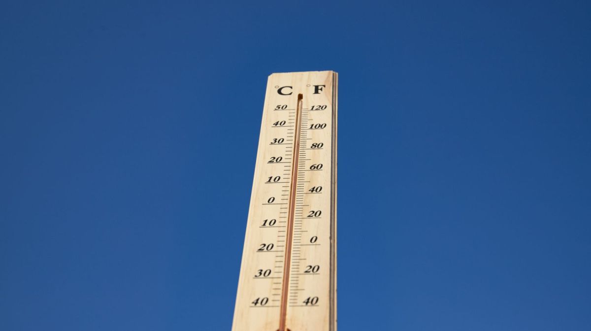
The IPMA forecast for today and Saturday, according to Maria João Frada, is partly cloudy or clear skies, and a slight rise in temperatures is expected in the northern and central regions, with the highest values in the Tagus Valley, inland Alentejo, and inland central regions.
"Then on Sunday, we'll generally see more clouds across the entire country, morning fog, and then a temporary increase in cloud cover in the afternoon, with conditions favourable for showers and thunderstorms, but these will be scattered in the central and southern regions," she added.
According to Maria João Frada, temperatures on Sunday are expected to drop by 2 to 3 degrees Celsius, depending on the region, and could reach 5, 6, or 7 degrees Celsius.
"We'll reach Sunday and see maximum temperatures exceeding 30 degrees Celsius, between 30 and 33 degrees Celsius, only in some inland areas, with temperatures lower in the rest. Next Sunday, we'll have weaker westerly winds and more moisture, which will be more favourable for fighting fires and even spreading them," she said.
According to the IPMA meteorologist, the showers forecast for Sunday, if they occur, will be very scattered.
"Two or three days ago, the models indicated more consistent rainfall in the north and center because there was a front crossing the continent. Now that the front is losing activity and dissipating west of the mainland. What we have is just a trough and a depression in the upper atmosphere, and the resulting showers will be scattered and may not fall in areas where fires are occurring," she said.
According to the meteorologist, starting Monday, there will be a depression in the upper atmosphere over mainland Portugal, and some showers may still occur, but they will be scattered, and thunderstorms are unlikely.
"Starting in the afternoon [on Monday], we have a rise in maximum temperatures that will continue into Tuesday, and initially by Wednesday, there will be a long way to go, when we will see a drop in temperatures. We no longer have temperatures as high as in the first half of August," she said.


