According to the meteorologist from the Portuguese Institute of the Sea and the Atmosphere (IPMA) Patrícia Gomes, in the next few days there will be clear skies and moderate to weak wind blowing from the east quadrant, being more intense in the highlands.
"Regarding temperatures, they are already rising, both the minimum and the maximum, and will remain at more or less the same values ??until Monday, 24 February" said Patrícia Gomes, adding that temperatures are above normal for the season.
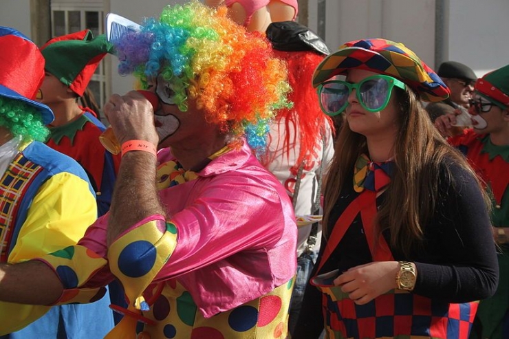
However, on Tuesday, Carnival day, a drop in temperature is already expected and there is a low chance of precipitation.
"For Tuesday, a weakening of the anticyclone is expected, which will allow the approach of a cold frontal surface that will give rise to a possibility of precipitation between 10 and 35 percent in the northern and central regions, especially on the coast," he said.
Regarding the temperatures, Patrícia Gomes said that the lows would be around 5 to 11 degrees Celsius in a large part of the territory, being in the northern and central regions between 0 and 5 degrees.
“With regard to the maximum, in the coming days and until Monday they will vary between 16 and 25 degrees. The highest values ??will be registered in the southern region, in the regions of Alentejo and Algarve, and the lowest in the regions of the northern interior and centre”, he said.
For Tuesday of Carnival, a temperature drop of between 3 and 6 degrees is foreseen compared to the values ??to be recorded at the weekend.


