According to Rui Oliveira of ANEPC, of the 150 incidents, 91 were floods, 42 corresponded to fallen trees, and the remainder to fallen structures and small landslides, mainly in the Lisbon sub-region.
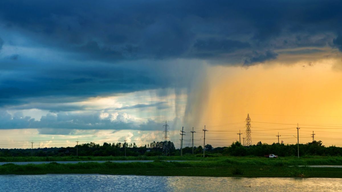
Mainland Portugal is being affected by a cold front of moderate to strong activity, causing rain, thunderstorms and wind, according to the Portuguese Institute of the Sea and the Atmosphere (IPMA).
“In the Lisbon sub-region, 65 incidents were recorded, in Setúbal 18, and in the West 12, with the remainder scattered across other regions of the mainland, but nothing serious,” it indicated.
The IPMA forecasts rain today that will be “at times heavy and accompanied by thunderstorms,” especially during the passage of the front and until the end of the morning, which is why an orange warning for rain and a yellow warning for thunderstorms have been issued (ending at 09:00 and in some districts at 12:00).
The wind is expected to blow “strongly with gusts” between this afternoon and early Thursday morning.
During the passage of the cold front, gusts could reach 80 kilometres per hour on the coast and 110 kilometres per hour in the higher areas of the northern and central regions, with a yellow wind warning in effect for these areas.
IPMA also forecasts increased sea agitation on the western coast, with waves from the west quadrant of four to five meters, which could temporarily reach between five and six meters between tonight and Thursday morning.
An orange warning for sea agitation has been issued for this period.


