In statements to the Lusa news agency, meteorologist Maria João Frada said that a decrease in maximum temperatures is expected from 28 April onward, after recent days with temperatures above average for this time of year.
“Today [28 April] we will still have a muggy day, but from the afternoon onwards, the wind will shift to the west, and we will have an influx of sea breeze, which will lower the temperature,” she explained.
According to the IPMA meteorologist, on Wednesday, 29 April, the maximum temperature will drop again, but more sharply in several locations, mainly in the northern and central regions and in Alto Alentejo by 5, 7, and 8 degrees Celsius, and in Baixo Alentejo and the Algarve by 4 degrees Celsius.
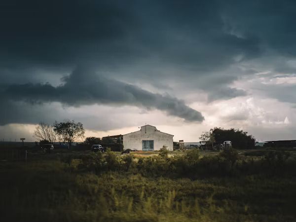
“Starting early this morning, we will have a worsening of the weather with heavy rainfall, which may be accompanied by hail and widespread thunderstorms. We have already issued a yellow warning for precipitation and thunderstorms in practically the entire territory, with the exception of Leiria, Setúbal, Lisbon and Faro,” she indicated.
The yellow warning is also issued for Wednesday, 29 April, due to precipitation and thunderstorms for the same districts.
“We have a trough in the upper levels of the atmosphere that will position itself northwest of the mainland territory and give rise to this instability. On the 30th, there will be some relief, an improvement in terms of precipitation, but there will still be some cloudiness and more scattered precipitation,” she indicated.
According to Maria João Frada, a rise of 2 to 4 degrees is expected on Thursday, 30 April.
“It is not foreseeable that during this week and the beginning of next week we will have maximum temperature values in the same order of magnitude that we have had,” she said.
Showers and thunderstorms are expected to return over the weekend, but this is still to be confirmed.


Follow us on social media