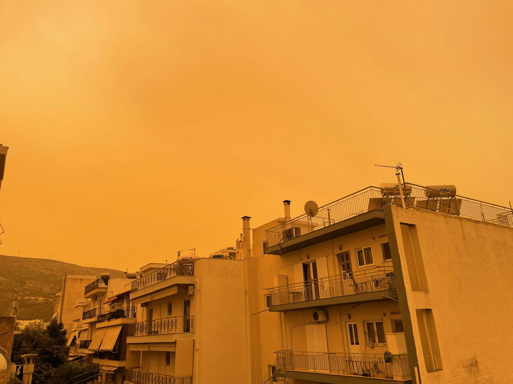
#CopernicusAtmosphere dust aerosol optical depth forecast shows a massive #SaharanDust plume crossing NW Africa, W Mediterranean + parts of Europe through the first week of March.
— Copernicus ECMWF (@CopernicusECMWF) March 3, 2026
Read the article ⬇️ pic.twitter.com/dNOjm744h0
In the first days of March, Portugal was affected by the Saharan dust that entered the country. NASA Earth Observatory showed how it affected the Iberian Peninsula.
Using the Goddard Earth Observing System (GEOS) atmospheric model, NASA recreated the evolution of the dust cloud from 1 March to 9 March. By combining satellite observations with atmospheric physics, NASA tracked the movement of dust particles through the air.
In the images, it is possible to see how the dust came from North Africa and was carried across the Mediterranean Sea by high-altitude winds.


