
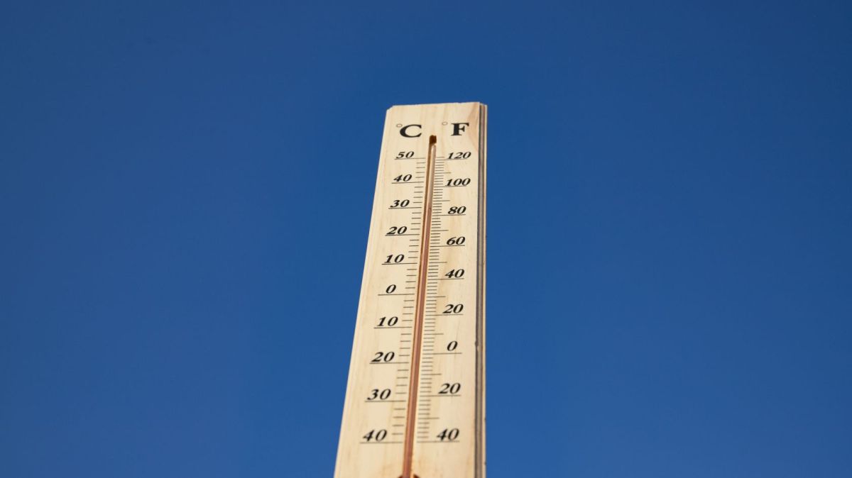
While the winter anticyclone is unlikely this year according
to experts, it could still actually happen. An "anticyclone located in
Central Europe", more specifically in the Siberian region of Russia, can
cause a "cooler and drier" air current to spread to other places in
Europe, such as Portugal, during the meteorological winter (which starts on
December 1).
Patrícia Gomes, the technician responsible for making
forecasts for the Instituto Português do Mar e da Atmosfera (IPMA), explained the
situation to Notícias ao Minuto, stating that this is not at all
"abnormal", and can bring a sharp drop in temperatures to several
European countries, although it is "northern Europe that will suffer
most" from this phenomenon, explained the forecaster.
But despite forecasts warning of this possibility, it is
still not possible to determine with certainty whether the temperature
"this year will decrease more than normal", said Patrícia Gomes.
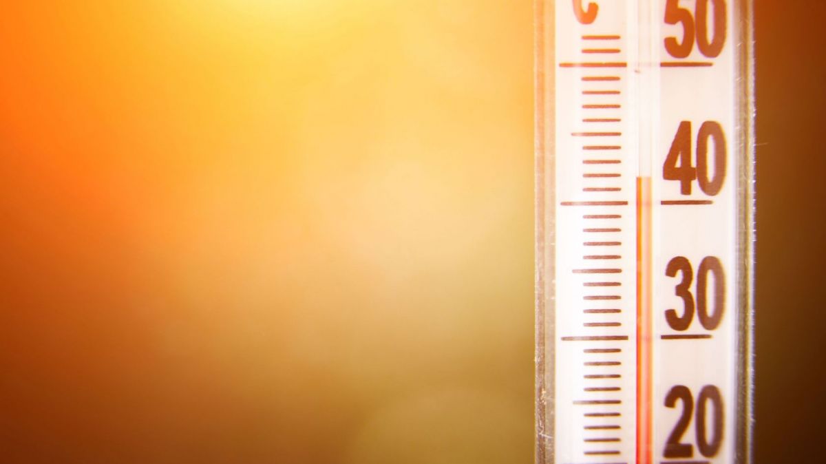
In fact, IPMA forecasts for the next four weeks even point
to a different scenario. Citing the most recent monthly forecast from the
meteorological institute, a "positive anomaly" is predicted when it
comes to temperatures - that is, values "slightly above" what is
expected for this time of year.
However, although the consequences of this anticyclone
"for the beginning of winter" in Portugal are not foreseen, the truth
is that "winter is three months" and, therefore, it is best to wait
and see if this air current of "more cold and dry" weather will, or
not, reach the country over the next few months.


Long term weather forecasts are at best unreliable no matter how much you invest in the latest computers and experts. There are too many unknown variables which affect weather systems. The only thing you can guarantee is there will be weather!
By David Clark from UK on 29 Nov 2022, 00:56
Absolute garbage weather manipulation by governments under the duress of the World Economic Forum is the cause another media outlet working in the interests of the governments and not the people. Try looking up at the skies there’s your weather
By Tim duffin from UK on 29 Nov 2022, 17:27
„ Central Europe", more specifically in the Siberian region of Russia, ”
With respect, Central Europe is nowhere near the Siberian region of Russia…
By Agnieszka from Lisbon on 29 Nov 2022, 22:35